Start Mantrailing
Audible Book Images
Maps, Scent Cones, Pictures and K9SAR Training Log Sheet
This page contains the maps and training log sheet of the Start Mantrailing Audio book available at Audible.com By Amber Higgins (USA) and narrartor Steven Smith (CAN)
At the start of the day’s training, the trail layer will be handed a map to follow and after the dog works the trail a different colored pen or pencil is used to draw where the dog traveled to find the person.
Map 1
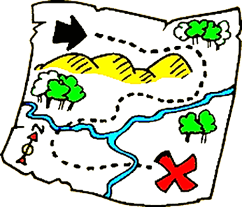
The maps used are similar to treasure maps with x marking the spot and dotted or different colored lines marking the path of trail layer or subject of the hunt. With lines added after the dog team has ran the course to show how closely the K9 team followed and find the subject. Maps do not need to be in color like the picture above that shows a basic hand drawn map in a rural area. An Urban map will be of city streets and buildings. Some people, including myself, prefer to draw maps at the scene or dog training session using pencils and paper while others use computer and cell phone mapping apps, GPS and Google maps. (Note: Mantrailing dogs do not follow the exact foot prints of a person-read the whole book to learn why)
Week 1 Trail Map
Example
Trail Layer is the black line and dog is the blue.
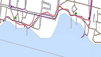
Below are actual maps of a Mantrailing dog in training.
The red line is the trail layer and the
purple is the dog team.


.jpeg)


No comments:
Post a Comment